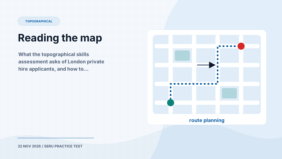
The topographical skills assessment has nothing to do with knowing London by heart. It is a test of whether you can read a map and plan a route from it — a skill, not a memory test. That is good news, because skills respond to practice.
What it is
Private hire driver applicants in London are required to pass a topographical skills assessment as part of their application, unless they fall into one of the exempt groups TfL lists. TfL’s licensing page (linked from our resources page) sets out who has to take it.
TfL publishes two things about how it is marked:
- the pass mark is 60%
- about two thirds of the marks are for route planning, and one third for multiple choice
Training providers report the paper as 24 questions in 70 minutes. TfL does not publish those figures, so treat them as a guide rather than a guarantee.
The skills, one at a time
1. Grid squares
Maps are divided into lettered columns and numbered rows. A grid reference gives the letter first, then the number. You will be asked to find a place or a street and say which square — or squares — it is in.
The catch is streets that run through more than one square. If a question asks for every square a street passes through, follow it from end to end rather than stopping at the first square where you spot its name.
2. Road numbers
Some streets carry a road number as well as a name. Questions go both ways: which number does this street carry? and which street carries this number? Find the label on the map, then trace the road it belongs to — labels sit near junctions, where it is easy to attach them to the wrong road.
3. Compass directions
In which direction is B from A? Find north on the map first. Then imagine standing at A, facing B. The most common mistake is giving the direction the wrong way round — from B to A.
4. Map symbols
You are given a key. Use it. On the maps in our app, for example, a grey arrow marks a one-way street and red crosses along a road mean it is closed. The full key to our maps is on the Quick Reference page — in the assessment itself, use the reference page TfL gives you, because the symbols may differ.
5. Choosing the route
This is where most of the marks are. You are asked for the most direct legal route between two points. Both words matter:
- Legal — it does not go the wrong way down a one-way street, make a banned turn, enter at a no-entry, or use a closed road.
- Most direct — of the legal routes, it is the shortest.
A route that is shorter but illegal is wrong. A route that is legal but takes the long way round is also wrong.
A method for route questions
- Find the start and the end before you look at any route.
- Mark the restrictions between them: one-way arrows, banned turns, closures.
- Check each candidate route for legality first. One wrong-way street rules it out, however short it is.
- Then compare length among the routes that survive.
- Check the direction of travel. A route drawn from the end back to the start is not an answer to the question that was asked.
What multiple choice can and cannot do
In the real assessment the route questions are drawn on a map and marked by an assessor. A multiple-choice question cannot rehearse the drawing. What it can do is drill the judgement behind it, quickly and repeatedly: which of these four routes is legal, and which is most direct.
That is how the Topographical Skills route in the app is built: maps of real London streets, with questions on grid squares, road numbers, compass directions, symbols and route choice. Thirty of them are free on this site, including ten route-choice questions.
Once choosing the right route feels routine, practise drawing: print a street map, pick two points, and trace the most direct legal route by hand. The judgement is the same. The pen just makes you commit to it.